Deptford Neighbors Source Check
A Deptford block search has several layers. Deptford parcel and tax sources identify real property and may display an owner or taxpayer field. The voter route is a limited, statutory record with access and use rules. Deptford historical directories and private surveys provide dated context. None of those sources is a complete current-neighbor roster. Use them to identify what a record actually documents about a Deptford address and then preserve the source date and any redaction notice.
| Source | What It Shows About a Block | Access |
|---|---|---|
| Gloucester County GIS and NJGIN | Deptford parcel polygons, address, municipality, block, lot, qualifier when supplied, and map context | Public county or state viewer; not a legal survey |
| Gloucester County tax record search | Deptford tax-list parcel details, address, block, lot, assessed values, and available owner or taxpayer field | Public Deptford-district basic search |
| County voter-list route | Statutory fields arranged by Deptford street and residence number | Controlled county request under N.J.S.A. 19:31-18 and 18.1 |
| Woodbury-area city directories | Dated Deptford historical household or address leads in their stated regional coverage | GCHS catalog, staff, or in-person research |
| GCHS private surveys | Deptford historic adjacent properties, waterways, schools, churches, and building footprints | Repository inquiry and item-level access |
A Deptford parcel owner, taxpayer, mailing address, and current occupant can be different people. The Deptford map and tax records can support property research, but they do not prove who lives there. Missing Deptford names can also be lawful redactions rather than an empty or abandoned parcel.
Map a Deptford Neighbors Block
Use one verified Deptford address as the anchor, then move outward parcel by parcel. The county identifies GIS support within its Planning Division, and its ArcGIS organization provides Deptford map context. NJGIN Property Explorer publicly describes searches by address, county, municipality, block, and lot. The accessible county landing page did not verify every live widget or layer, so treat specific button labels, export options, and map dates as unconfirmed until they are visible in the viewer.
- Find the Deptford anchor address through the Gloucester County GIS route or in NJGIN Property Explorer.
- Record the Deptford anchor parcel’s address, municipality, block, lot, qualifier if shown, and PAMS PIN when available.
- Use the visible map identify function or adjoining polygons to inspect the immediately surrounding Deptford parcels one at a time.
- Cross-check each parcel against the Deptford tax-record search and preserve the returned tax-list year or update information.
- For a full named-street record chain, switch to the Deptford street directory rather than stretching a small block search into a whole-street conclusion.
NJGIN describes its composite parcel data as normalized from county and municipal sources collected roughly from 2008 to 2014 and maintained by local governments. Deptford parcel polygons are spatial references, not legal boundaries or surveys. A line on the screen should not replace a deed, survey, or official legal description.
Deptford Parcel Owners and Occupants
The Deptford tax portal supports the DEPTFORD district and accepts House Number, Street Name, Property Owner, Block, Lot, and Qualifer fields. It may return parcel, address, assessment, property-class, and available owner or taxpayer information, although the exact live result columns and pagination were not captured in the official research. Use a house number and Deptford street first, then add block and lot to separate similar addresses or street names.
Deptford property ownership is not occupancy. A Deptford mailing address can belong to an owner elsewhere, a property can have multiple interests, and a name can be absent because of Daniel’s Law. The state’s MOD IV historical database also removes owner names under Daniel’s Law and requires free registration. It is better suited to Deptford historical tax-list year and parcel research than a current household assertion.
The Gloucester County tax search is the right starting tool for Deptford property detail. Save the exact address, block, lot, qualifier, source date, and whether the name field was displayed, unavailable, or redacted.
- Parcel
- A mapped unit of land associated with tax and property records.
- Owner field
- A tax or property-record name, when displayed; it is not a statement of present occupancy.
- Mailing address
- An address used for correspondence that can differ from the property’s situs address.
- PAMS PIN
- The statewide parcel identifier used in New Jersey parcel data where available.
Deptford Block Voter Lists
New Jersey’s public registration-status lookup is an exact-match status tool, not a searchable Deptford neighbor directory. Official instructions call for name, date of birth, city, and county matching. A no-match does not prove a person is not a Deptford resident because spelling, moved or inactive status, protection, and other factors can affect the result. Current visible field labels were not captured in the official research, so do not rely on guessed interface controls.
N.J.S.A. 19:31-18 describes the county voter list as limited to name, address, date of birth, political-party affiliation, and voting history, arranged by street, residence number, and name. Under N.J.S.A. 19:31-18.1, a county clerk supplies copies to a voter at $0.25 for each election-district list, subject to the statute’s commercial and charitable-solicitation prohibition. The dedicated Gloucester request form was not located. Direct a narrow Deptford voter-list request to the county clerk or elections custodian rather than treating the status tool as a block roster.
Gloucester Elections is at 550 Grove Road in West Deptford and publishes Deptford registration, forms, polling-place, and sample-ballot information. Election locations and mailing lines change by cycle. Do not use party or voting-history fields as a label for a neighbor, and minimize any date-of-birth information in notes.
Deptford Civic Services, Not Rosters
No official consolidated Deptford neighborhood or civic-association roster was found. That gap matters. A municipal office, county department, polling location, or business listing is not an association membership directory. The contacts below are properly sourced Deptford civic services and repositories that can help with civic or records questions; they are not contact cards for neighborhood associations and should not be presented as such.
| County Elections | Gloucester Elections, 550 Grove Road, West Deptford; Deptford registration, forms, polling places, and sample ballots. |
|---|---|
| Planning and GIS | County GIS Support, Planning Division, 1200 N. Delsea Drive, Clayton; Deptford parcel and map context. |
| Historical repository | Gloucester County Historical Society, library and museum resources for Deptford directories, maps, surveys, and local collections. |
| Township services | Deptford municipal contacts identify Planning and Zoning, Code Enforcement, Health and Vital Statistics, Police, Public Works, and MUA as service entry points. |
Deptford municipal public-meeting, permit, land-use, or service records can be requested through the appropriate custodian when a specific existing record is known. They do not establish which households belong to a neighborhood group.
Deptford Blocks by Historic Section
Deptford historical block research needs the name in use at the time. Almonesson, Jericho, New Sharon, Oak Valley, Woodbury Gardens, Hammond Heights, Lake Tract, Country Club Estates, Cooper Village, and other development labels can be helpful directory and newspaper terms, but they are not all separate incorporated municipalities. The former Deptford Township once covered a much larger area, and a nineteenth-century “Deptford” record may now fall within West Deptford, Washington, Monroe, Westville, Woodbury, or Woodbury Heights.
The documented Deptford regional directories include 1886, 1909, 1922, 1931-32, 1950, 1952-53, 1955-56, and 1959-60. The 1959-60 volume explicitly includes parts of Deptford, Greenfield Village, and Oak Valley. It is a historical source for a dated household lead, not evidence of current occupants. GCHS private surveys can be especially helpful because they may show adjacent properties and building footprints that a current parcel viewer cannot explain.
Note: Record the historical section name separately from the current township, postal city, and ZIP field.
Compare Deptford Block Tools
Official and commercial tools answer different Deptford questions. An official parcel or court source is tied to a custodian and a defined record type, but can be incomplete, dated, or redacted. Commercial neighbor-lookup categories may combine material from many sources, but their origin, update cycle, and matching method may not be clear. Neither category turns a Deptford address into permission to contact, monitor, or make claims about a person.
| Tool Category | Best Use | Limits to Preserve |
|---|---|---|
| Official parcel, tax, land, or election route | Checking a defined Deptford address, parcel, instrument, or statutory list | Coverage, date, redaction, and record-purpose limits |
| Historical repository or directory | Dating a past Deptford address or local place-name connection | Regional coverage, missing years, and historical-only status |
| Commercial neighbor-lookup category | Generating leads that need independent checking | Unknown matching logic, stale information, and unclear source lineage |
Official records should be the verification point. Treat a commercial result as unconfirmed until an appropriate custodian record supports the same name, address, and date.
Date Every Deptford Block Result
Deptford parcel, tax, land, voter, directory, and court records do not update on one schedule. NJGIN’s composite data has a different history from the MOD IV 2024 update, an election-cycle list, or a printed directory. Capture the returned record year, retrieval date, source URL, and any coverage or update text. Postal city, Township, and county also need separate fields because local examples can use Deptford, Sewell, or Woodbury postal lines without changing the municipality attached to a parcel.
Daniel’s Law can remove covered owner names from NJGIN parcel and tax-list products. The Address Confidentiality Program can use a substitute address for an eligible participant. An absent name, blank address element, or no-result should be marked as unavailable or redacted when that is the supported explanation. It should never be reverse-engineered from older data.
Privacy Limits for Deptford Blocks
Deptford block records are bounded by privacy and by what each custodian holds. Unlisted household relationships, protected residents, utility accounts, delivery information, and confidential court or vital material are not made into a public block list by parcel research. Court and custody sources are also poor residence evidence. A court docket shows a case relationship, and custody information can show items such as facility, commitment, release, or parole fields, not a current Deptford address.
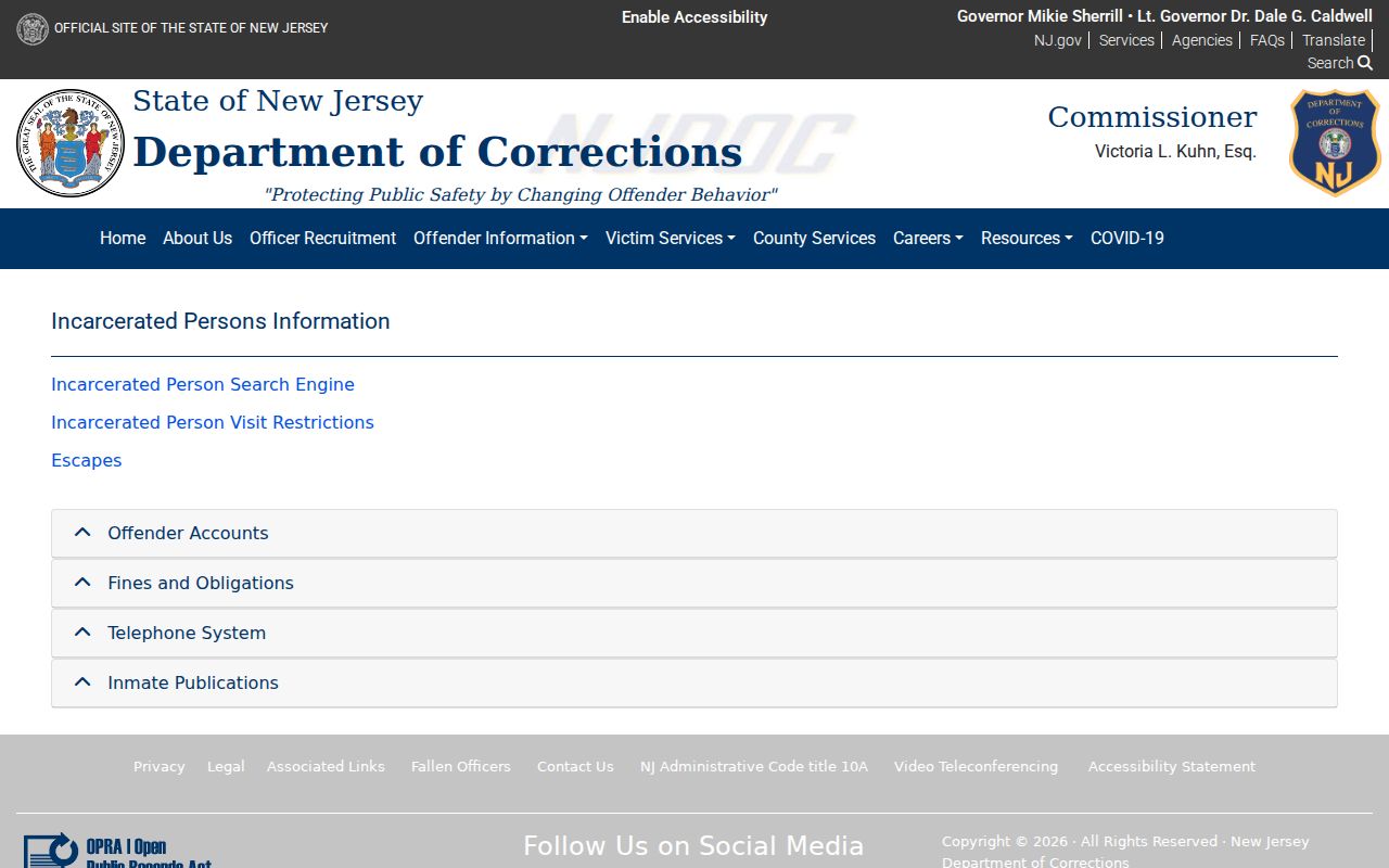
The official NJDOC Offender Information materials define custody-related terms but do not establish neighborhood residence.
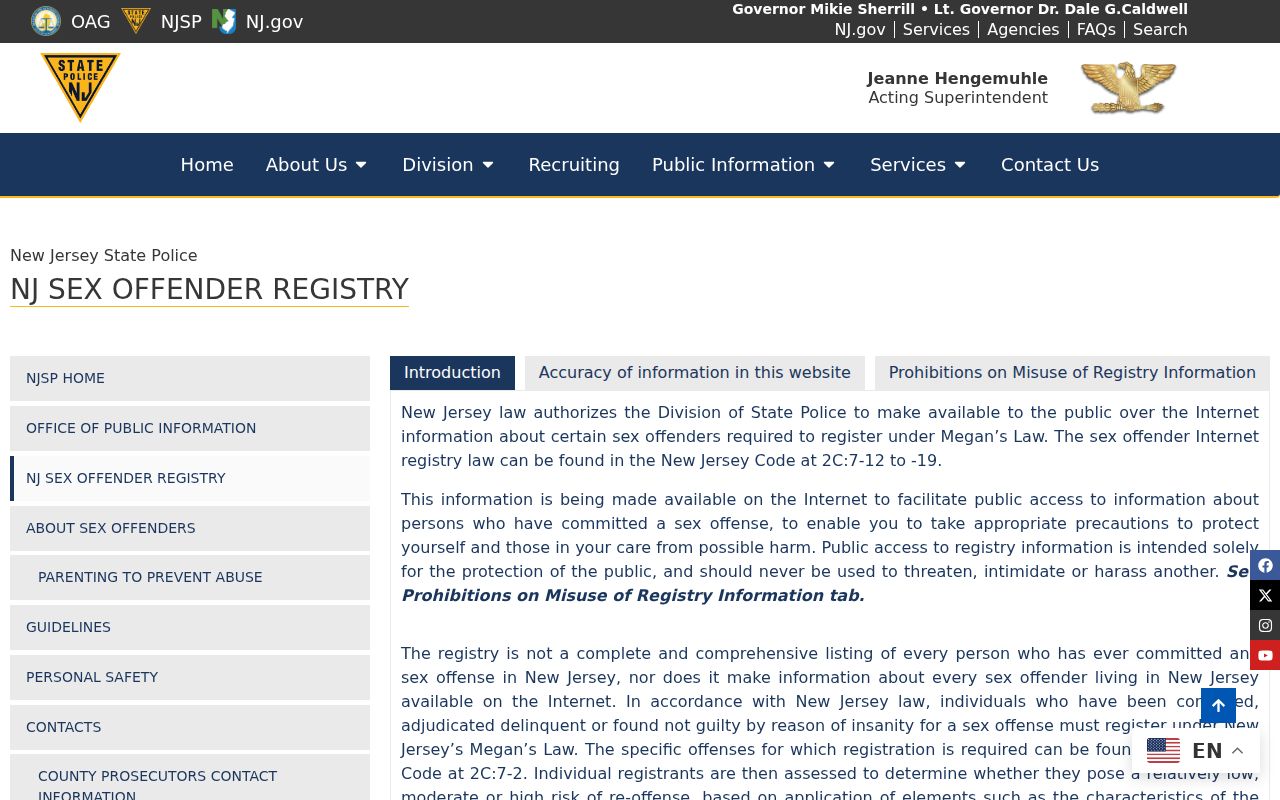
The New Jersey State Police registry is an official endpoint, but the current accessible page did not expose verifiable public search controls, radius options, or result fields. Keep that research gap visible rather than supplying inferred controls.
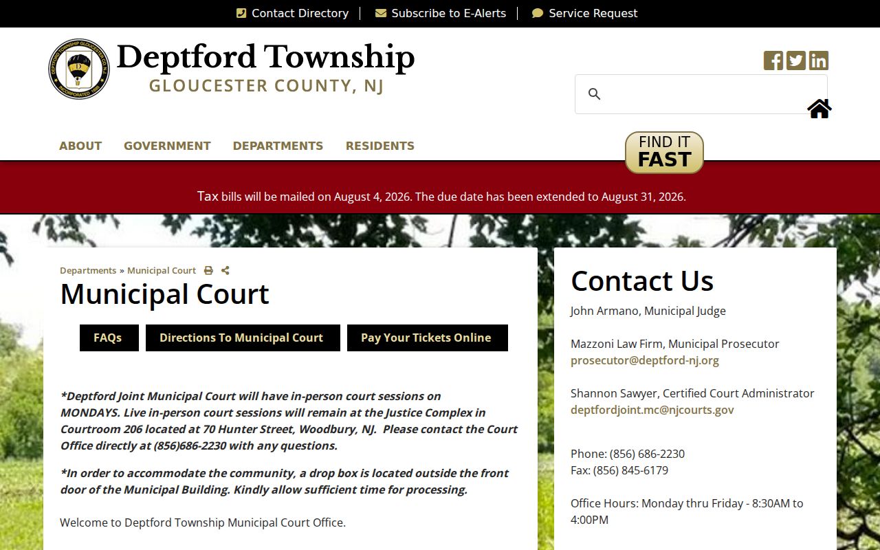
The Deptford Municipal Court page directs case questions to the joint court route and lists its court services. A municipal ticket or custody record is not proof of a Deptford residence.